The use of space technologies and solutions can play a significant part in tackling energy-related issues – this was the overall theme of a seminar organized by Kvarken Space Center on Thursday at Vaasa EnergyWeek. Satellites are an important tool for advancing our understanding of the environment and supporting the transition towards a more sustainable future.
The availability of space-based data has been increasing rapidly on a global scale, including for example satellite communication, weather information, and global navigation satellite systems. Some systems are freely available, such as the satellite-based GPS that is today found on all smartphones, while others are provided commercially. These advancements in space technology have unlocked many opportunities for various industrial sectors.
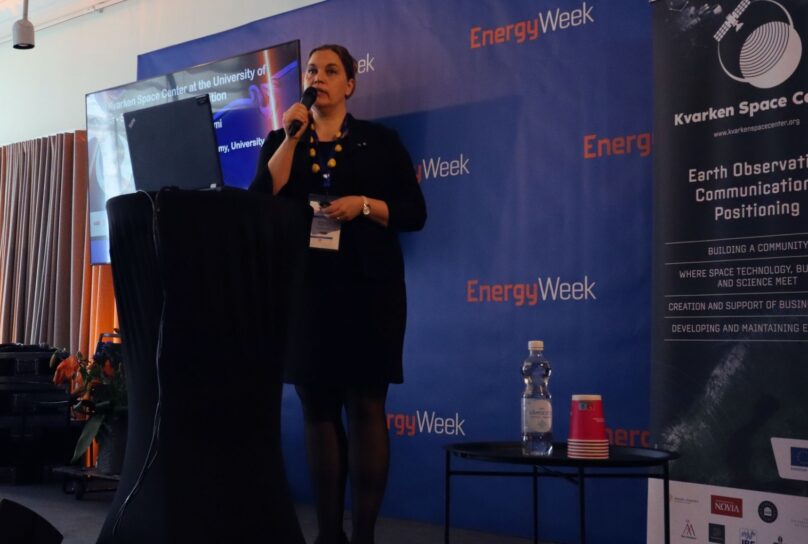
Professor Heidi Kuusniemi, Director of Digital Economy at the University of Vaasa, explained in her introduction that the primary goal of the Kvarken Space Center is to implement a long-lasting regional economic development structure for space-based business and innovation.
“We want to provide initial and long-term industry support to benefit the energy sector in the green transition and business ecosystem development,” she said.
Space-based business opportunities
The main topic of the seminar was the use of space-based data, i.e. data gathered by satellites. According to experts, this data can provide valuable insights into wind patterns and solar irradiance, allowing for more accurate predictions of power production and greater efficiency in energy generation.
It can be used for site assessment, planning, and maintenance of renewable energy infrastructure, as well as for monitoring the impact of climate change on energy production. Satellites provide support to policy-makers, companies, and citizens in making informed decisions on issues related to the environment and climate change.
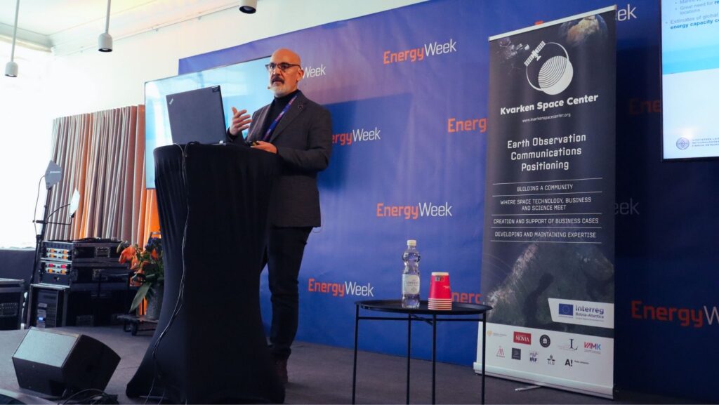
“We need to figure out how to interpret and use the data to create a business around it,” says Dr Ali Nadir Arslan, Senior Scientist at the Finnish Meteorological Institute.
Offers satellite data on demand
ICEYE is a Finnish company that specializes in providing synthetic-aperture radar (SAR) satellite imagery and analytics services. These satellites can provide on-demand maritime surveillance, disaster response, environmental monitoring, and infrastructure management.
Tero Vauraste, Senior Business Development Advisor at ICEYE, explained that the company’s SAR satellites are capable of imaging the Earth’s surface at a high resolution day or night, regardless of weather conditions.
”Our satellites can monitor wind farms, power lines, and oil levels in tanks, pipelines and open pit mines. Another use for satellites is the detection of illegal activities, such as deforestation, pollution or sabotage.”
Vauraste says that he is very proud of ICEYE being from Finland and on its way to becoming an industry leader.
Non-commercial alternatives
If companies are not ready to invest just yet, there are budget-friendly ways to explore the power of space. The Copernicus programme is a European Union initiative for Earth observation and monitoring. It provides freely accessible, reliable, and up-to-date information on the environment, climate change, the management of natural resources, and the safety and security of European citizens.
The Copernicus programme consists of a series of satellites, ground-based sensors, and data processing systems that collect and analyse data on various aspects of the environment, including land, oceans, atmosphere, and climate. It supports a wide range of applications and services, such as climate monitoring, land use and land cover mapping, air quality monitoring, maritime safety, and emergency management.
Dr Ali Nadir Arslan notes that permits taking too long is a major hindrance. To help speed up this process, he says that there are ongoing plans for designated go-to areas in Europe, places where renewable energy sources are not expected to have a significant environmental impact.
“In these areas, developments will have an easier path ahead,” Arslan says.
Benefits development of renewable energy in the Nordics
For Nordic countries, satellites are especially useful for the hydropower industry.
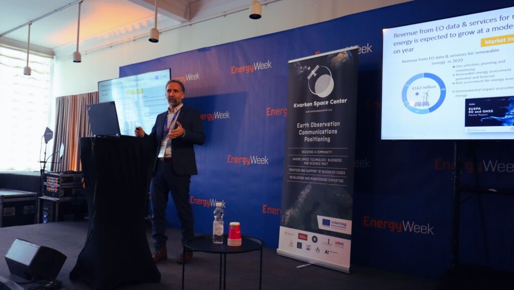
“Using satellite data, we can, for example, forecast droughts and floods or monitor snow cover to assess water levels,” says Dr Eduard Escalona Zorita, Space Downstream Market Officer at the European Union Agency for the Space Programme (EUSPA).
The energy sector can also use satellite data to support the development and operation of offshore wind farms, especially during site assessment and planning. Satellite data can provide detailed information on the characteristics of the seabed and be used in wind farm design to optimise power production. It can also be used to monitor weather conditions, sea ice, and other hazards that could affect the safety and security of offshore wind operations.
There is, however, one limitation to the usage of space-based data. Satellites cannot directly obtain images from under the sea surface.
READ ALSO: